

The European Space Agency and the European Organisation for the Exploitation of Meteorological Satellites announced that the Copernicus Sentinel-6B altimetry satellite has successfully completed its strict in-orbit testing phase and entered full operational service. The high-precision spacecraft, launched to ensure continuity in tracking global sea levels, is now actively delivering real-time ocean surface topography data models. These datasets are vital for predicting severe Mediterranean cyclones, mapping ocean currents, and strengthening global climate monitoring frameworks.
Orbital Precision and Cryosphere Observations
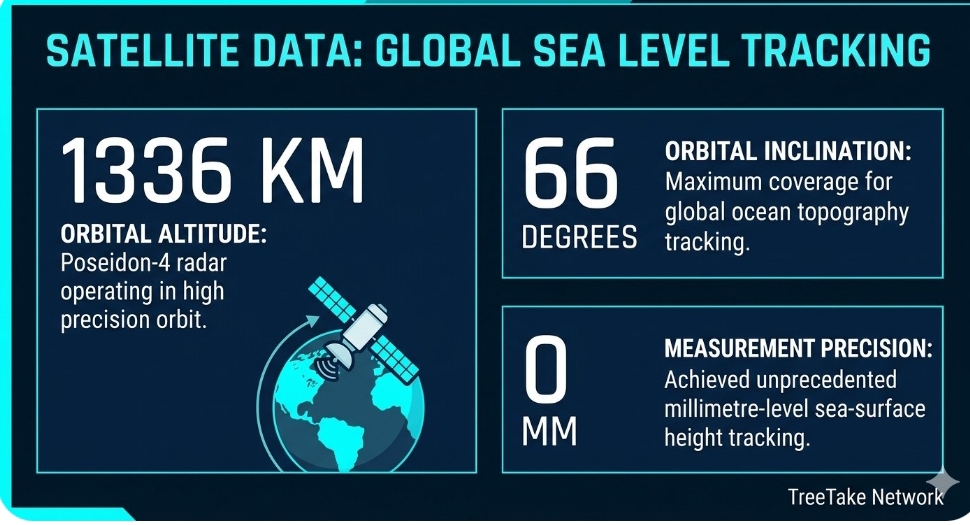
Operating at an orbital altitude of 1,336 kilometres with an inclination of 66 degrees, the satellite utilises its advanced Poseidon-4 radar altimeter to achieve unprecedented millimetre-level measurement precision. During the comprehensive calibration phase conducted throughout the past year, the satellite was cross-referenced against its twin, Sentinel-6 Michael Freilich, to ensure seamless data continuity. Ground tracking stations confirmed that the dual-frequency radar system has successfully minimised signal distortions caused by atmospheric water vapour, allowing scientists to monitor rapid changes in coastal zones and deep ocean basins simultaneously.
Oceanographers noted that the timing of full operational deployment is highly critical, as global sea levels are rising at an accelerated rate due to thermal expansion and ice sheet melt. Sentinel-6B is designed to capture highly detailed snapshots of sea-surface height anomalies, providing early warning systems for vulnerable low-lying coastal communities. Furthermore, the satellite's high-resolution microwave radiometer is actively measuring sea-surface temperatures and wind speeds, which are essential metrics for meteorologists tracking the rapid intensification of tropical storms.
Institutional Specialist Technical Perspectives
Dr Simonetta Cheli, Director of Earth Observation Programmes at the European Space Agency, emphasised that the successful transition of Sentinel-6B into full operational status ensures that the international scientific community retains an uninterrupted, highly precise record of global sea-surface height changes, which is a fundamental variable for understanding the acceleration of global climate disruptions.
Dr Phil Evans, Director-General of EUMETSAT, stated that the real-time operational data streams now flowing into forecasting centres will significantly enhance mathematical accuracy in predicting devastating storm surges and severe weather systems, thereby directly protecting vulnerable coastal populations and maritime infrastructure.
European Commission climate data specialists added that the integration of this data into the broader Copernicus Marine Service will immediately optimise commercial shipping routes and allow regional environmental ministries to plan long-term coastal defence frameworks with high precision. The full orbital logs, telemetry data, and validation records can be reviewed within the official institutional programme documentation.
Editor's Note
The operational validation of Sentinel-6B secures the longevity of our global ocean observation capabilities at a time when marine ecosystems are facing unprecedented thermal anomalies. Moving forward, space agencies must accelerate the development of next-generation wide-swath altimetry systems to ensure that predictive climate modelling keeps pace with rapid structural shifts in the global cryosphere.



Leave a comment