

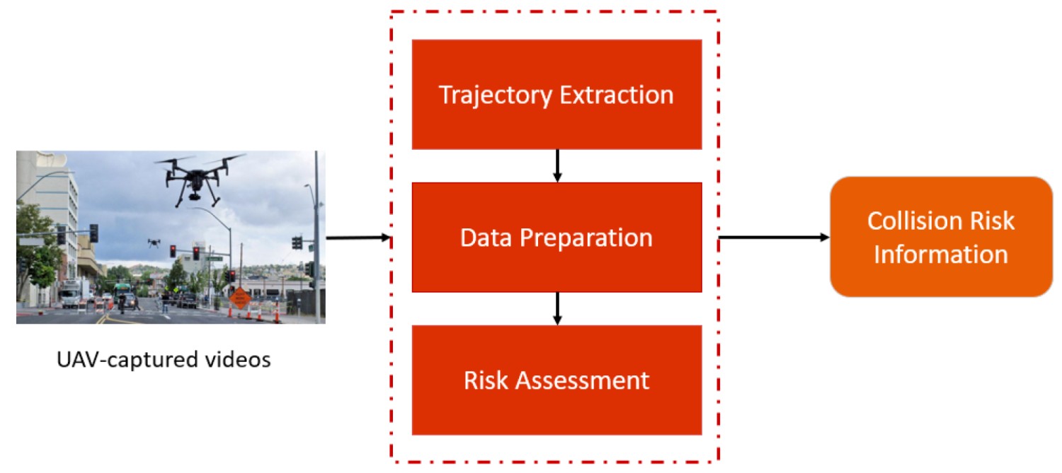
The historical pattern of infrastructure-linked greening padding has faced its first automated check on the ground. Following the sweeping contract revisions issued last week by the National Highways Authority of India (NHAI), regional engineering offices have officially deployed the first operational fleet of geo-tagged tracking drones across national highway corridors. The technical deployment shifts green corridor compliance away from static contractor ledgers to real-time space-borne verification. TreeTake presents a detailed operational update on this technological rollout, analysing how automated canopy imagery is being processed to calculate structural plant mortality, the pushback from project developers, and the strategic expansion of national transport carbon sinks.
The Autonomous Fleet Rollout and Aerial Biomass Calculations
The statutory enforcement parameters governing transport infrastructure greening underwent an immediate, technical escalation as the National Highways Authority of India commenced its first automated aerial canopy audits across high-priority transport segments. The field operations, launched concurrently across multiple regional circles, mark the formal activation of the strict 90 per cent plant survival benchmark mandated under the newly overhauled developer templates. Moving past the obsolete framework of manual on-ground tree counting, which was systematically vulnerable to data manipulation and bureaucratic padding, the authority has integrated localised unmanned aerial vehicles (UAVs) directly into the project clearance verification matrix.
The tracking drones are equipped with high-resolution multispectral sensors designed to calculate localised Normalised Difference Vegetation Index (NDVI) values and map canopy density profiles with centimetric accuracy. By layering these aerial biomass calculations over the exact coordinates of the initial contractor planting logs, the automated system can instantly identify wilted saplings, neglected road medians, and un-irrigated buffer zones. Project corridors that fall below the mandatory 80 per cent layout completion target or fail the annual 90 per cent survival inspection are flagged by the central database. This automated verification loop legally empowers the authority to freeze current performance-linked disbursements and apply heavy financial contract penalties before developers can transition out of their long-term concession periods.
Official Implementation Benchmarks and Contractor Resistance
The technical implementation has drawn strong endorsement from central transport regulators who emphasise that infrastructure expansion must incorporate real-time climate accountability. "We are establishing a transparent, unalterable ledger of India's highway carbon sinks, and our drones are designed to eliminate the long-standing scandal of disposable roadside trees," stated a senior engineering director within the National Highways Authority of India's green corridors division during an operational review session. He clarified that regional offices must reject any provisional completion certificates until the automated canopy filters verify that deep-rooted native flora—including Neem, Arjun, and Tamarind—have successfully acclimatised to road stress. "If a developer refuses to invest in proper drip-irrigation networks, automated soil sensors, and secure protective tree guards, the financial cost of sapling mortality will be borne entirely by their corporate ledger, not the public exchequer."
This rigid stance has triggered immediate friction from infrastructure conglomerates who warn that the drone-monitored targets ignore severe ground-level vulnerabilities. Contractors argue that while satellite and aerial mapping look seamless on corporate presentation slides, the technology cannot differentiate between structural neglect and external damage caused by uncontrolled rural cattle grazing, local utility cutting, or acute late-stage monsoon moisture failures. "The current NHAI penalty framework places an impossible, non-insurable burden of biological survival on infrastructure developers," argued an executive secretary representing the National Highway Builders Association. He stressed that locking vital capital disbursements to a 90 per cent survival metric across hundreds of kilometres of open, unfenced rural terrain is functionally unviable. "If regional forest wings fail to curb illegal firewood cutting or if local panchayats divert highway water lines during heat waves, penalising the road builder by withholding project payments will severely disrupt future public-private partnership models."
Structural Transitions and Ecological Accountability
The conflict has highlighted a fundamental shift in how the subcontinental state evaluates the environmental costs of transport networks. Independent transport economists note that while traditional models treated greening as a superficial cosmetic add-on to fulfil basic environmental impact assessments, the integration of autonomous remote sensing elevates canopy density to a primary engineering index.
"The deployment of automated canopy audits represents a critical transition toward data-driven environmental governance," noted Dr Sunanda Sen, an urban infrastructure analyst specialising in subcontinental transport ecology. She observed that using independent remote tracking dismantles the old bureaucratic reliance on self-reported compliance statements, which routinely hid high plant mortality rates under dense thickets of paperwork. "However, the next challenge for the authority is ensuring that these drone-derived datasets are hosted on open, public-access servers linked to India's Net Zero Portal. True accountability demands that local community units and environmental data analysts can cross-verify the contractor's survival metrics against independent public registries, transforming highway margins into actively protected community carbon assets."
Strategic Pathways to Infrastructure Resilience
Sustaining the green corridor transformation requires moving beyond punitive enforcement measures toward integrated, community-backed landscape design. The NHAI must establish collaborative stewardship agreements with local village forest committees, granting rural communities controlled grazing and harvesting rights for minor non-timber forest produce along highway margins in exchange for safeguarding the saplings from vandalism. Furthermore, regional engineering circles must integrate automated, underground soil-moisture telemetry linked directly to the drone guidance systems, allowing maintenance crews to intercept irrigation failures before saplings reach irreversible wilting points. Finally, the Ministry of Road Transport and Highways should establish decentralised, state-backed nurseries dedicated exclusively to cultivating climate-resilient native saplings, ensuring developers have immediate access to high-quality genetic stock optimised for specific regional microclimates and dust-absorption metrics.



Leave a comment